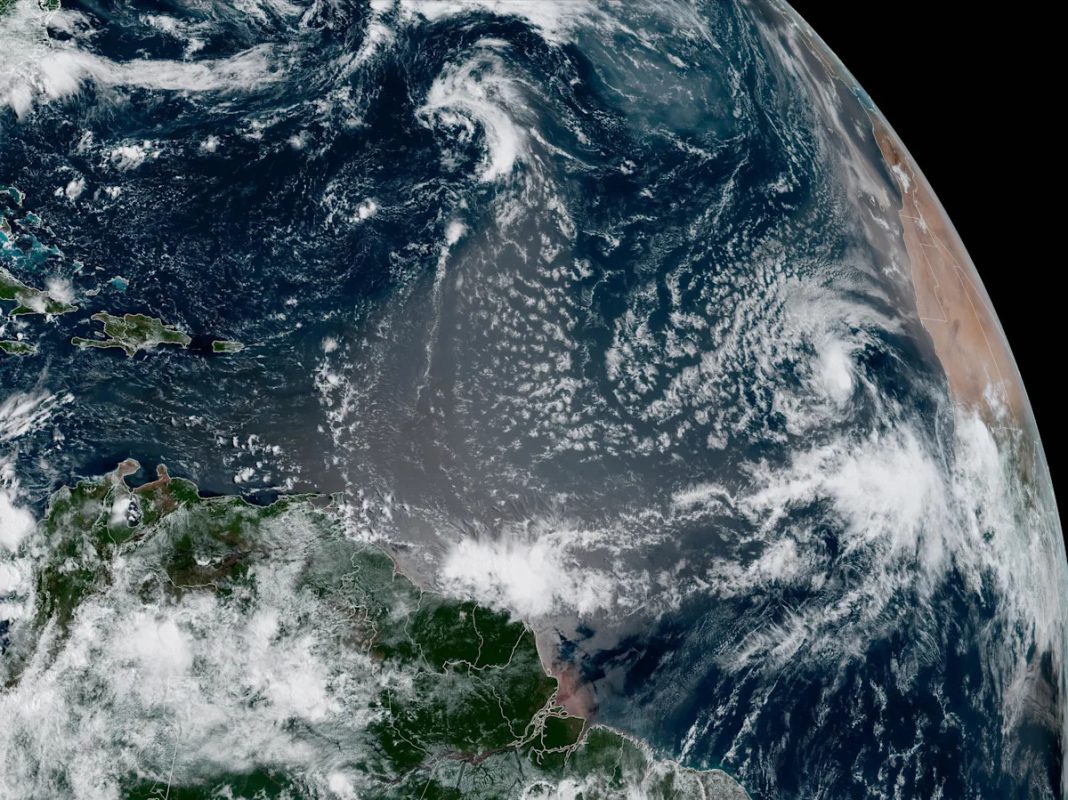
Tropical Storm Erin formed in the eastern Atlantic Ocean on Monday, forecasters said. The storm could strengthen to become the Atlantic’s first hurricane of the season.
The storm formed just west of the Cabo Verde islands off the western coast of Africa, the U.S. National Hurricane Center in Miami said. Erin was expected to move west. Early models showed that the storm was expected to strengthen but that it doesn’t pose an immediate threat to the U.S.
Maps show Tropical Storm Erin’s projected path
A map shows the projected path of Tropical Storm Erin as of 11 a.m. EDT on Aug. 11, 2025. / Credit: CBS

A map shows the projected path of Tropical Storm Erin as of 11 a.m. EDT on Aug. 11, 2025. / Credit: CBS
As of 11 a.m. EDT, the center of Erin was located about 2,305 miles east of the northern Leeward Islands in the West Indies with maximum sustained winds of 45 mph.
The National Weather Service predicted an above-normal season for the Atlantic basin this year with an expected number of named storms between 13 and 18, five to nine of which could become hurricanes.
A tropical cyclone becomes a tropical storm when its maximum sustained wind speeds reach at least 39 mph. Hurricanes are more powerful with sustained winds of at least 74 mph. Hurricanes are rated on a scale ranging from Category 1 to Category 5, which is the most severe rating. A storm is considered to be a major hurricane when it reaches Category 3 strength with sustained winds of at least 111 mph.
Derek and the Dominos co-founder Bobby Whitlock dies

